Farmers Investment Corporation's (FICO)
Various Earthworks
The water washing off the Santa Rita Mountains have formed a natural path to the Santa Cruz River. When the area was used for agriculture purposes, the farmers started rearranging the landscape to serve their needs. After they started irrigating it was necessary to keep the fields level to manage the water--—and to keep the fields dry as possible at harvest time. Therefore, they started controlling and diverting the flow of washes, which caused water to overflow and back up into the adjourning land. For example, the berms that diverted water from the Davis Farm, caused flooding on the Continental Farms, which were later purchased by Keith Walden and Henry Crown.
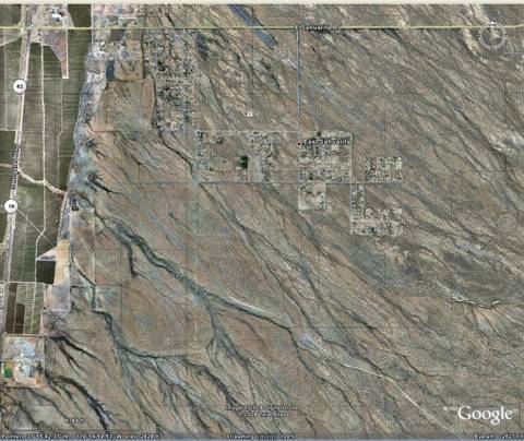
Regional Map showing flow of washes toward the river being
impeded by FICO earthworks
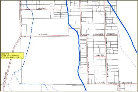
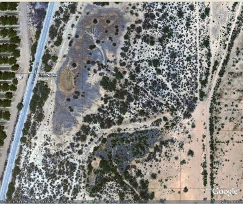
Map showing diversion from State Trust Land,
then from FICO land at Santa Rita Rd.
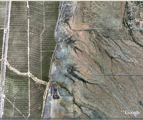
Google map of series of diversion dams
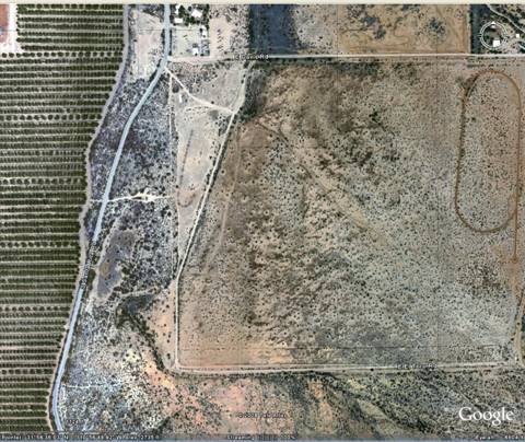
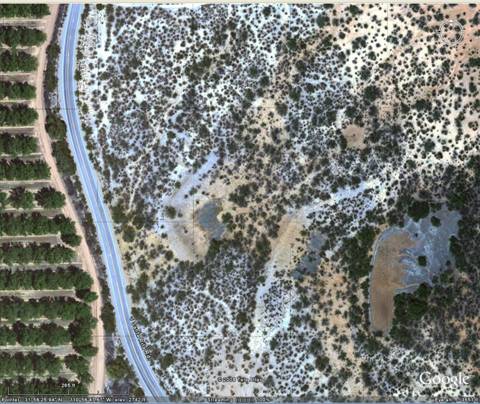
Google map of the two diversions: one onto FICO land and two dams
to divert water north away from the pecan groves.
The next three maps are the same scale:
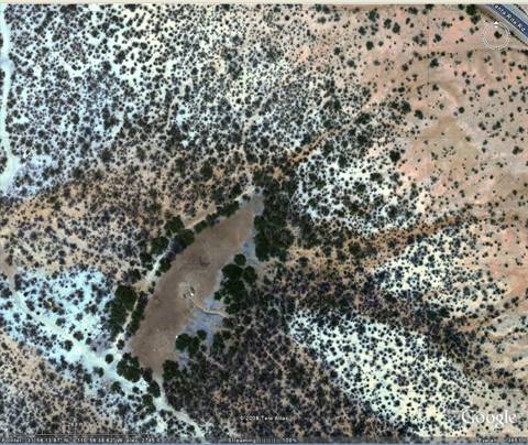
Close-up of the water behind the two diversion dams
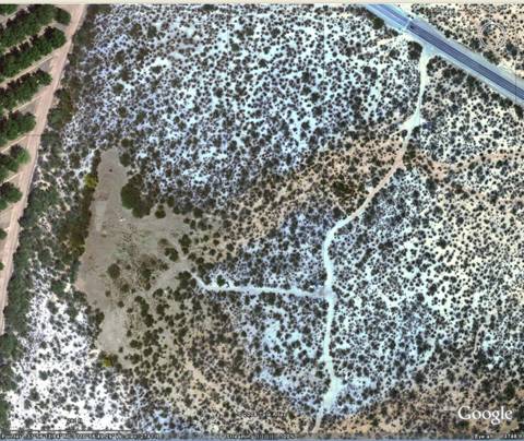
A series of three diversion dams south of the above dams and norht of Santa Rita Rd.
One of two dams south of Santa Rita Rd.
Second dam south of Santa Rita Rd.